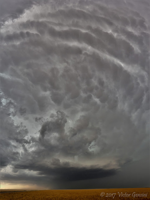
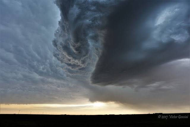
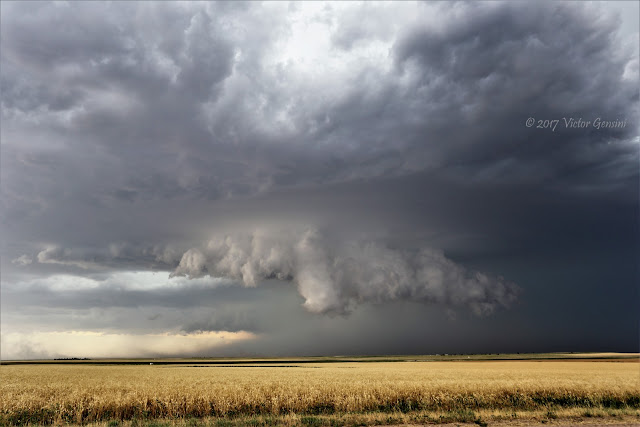
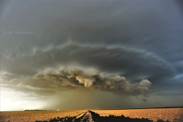
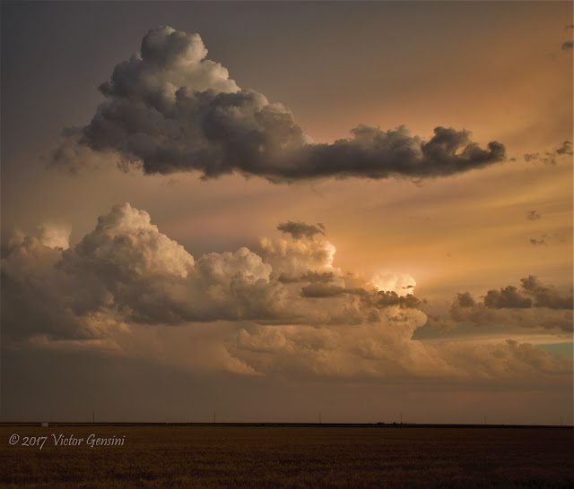
Tuesday featured a targeted slight risk of severe thunderstorms across west central Kansas. We were not expecting any tornado potential as the dewpoint depression values were well over 30 F by late afternoon, but severe weather did form in our target area east of Leoti, KS. We saw some great structure on a developing quasi-supercell that produced 2.75" hail in several locations throughout its lifecycle. Most of the photos below are from near Ulysses, KS, with the exception of the railroad shot (one of my favorites from this day). That picture was taken near Big Bow, KS. We also documented wave breaking with a left split moving toward our location. Walker's timelapse of this should be outstanding...
We went through Ulysses after the storms passed, and it was easy to see the vegetation damage and even a snapped power pole north of town. Another amazing day in America's heartland!
MISC: Overnighted in Garden City, KS.






No comments:
Post a Comment